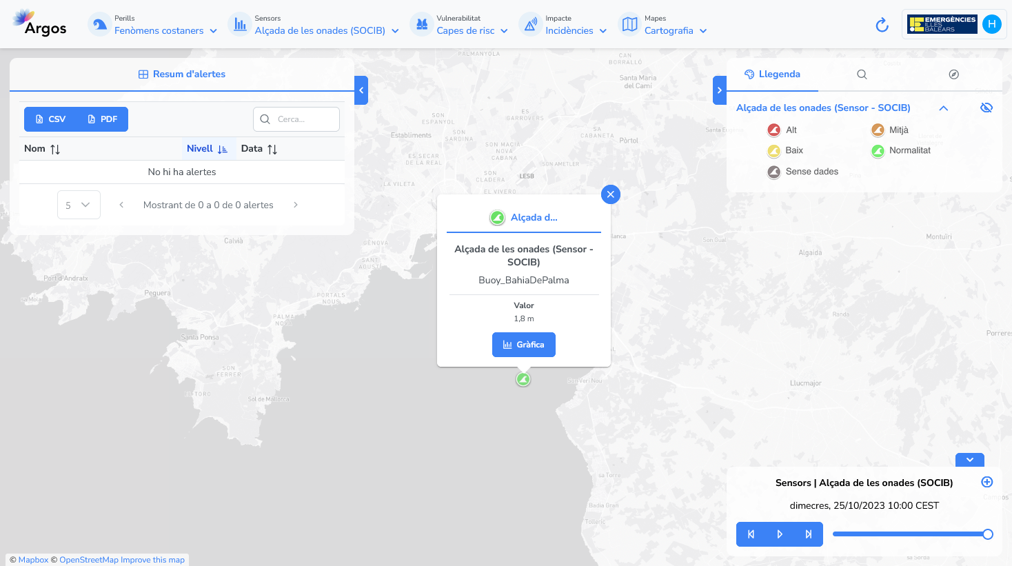
Sea level stations and buoys from SOCIB#
The Balearic Islands Coastal Observing and Forecasting System (SOCIB) operates an observation and forecasting system that continuously monitors the western Mediterranean, collecting data through multiple platforms, including high-frequency coastal radars, integral beach monitoring systems, autonomous underwater gliders, lagrangian observation platforms, oceanographic buoys, meteorological and sea level stations.
Available information#
The following variables are available on the platform:
Wave height, in m.
Current speed, in m/s.
Air temperature, in ºC.
Water temperature, in ºC.
Wind speed, in k/h.
Wind direction, in º.
Temporal resolution#
The platform can display the last 24 hours of data in hourly intervals.
Update frequency#
Data is updated in real time, approximately every hour.
Visualization#
The colour of the station icon indicates the exceedance of one of the thresholds defined in the configuration section.
When no data is available for the station, the icon is greyed out.

Useful links#
Data sources#
Data obtained through an API.