HRES-IFS numerical models#
The deterministic model of the European Center for Medium-Range Weather Forecast (ECMWF), is a global, atmospheric and hydrostatic numerical forecast model. The official name of the model is HRES-IFS, which stands for High Resolution Integrated Forecast System.
It is a forecast that uses:
Observations
The highest resolution model of the EC
The ECMWF’s highest resolution model.
Temporal and spatial resolution#
The forecast provides data for the next 10 days with a varying time step:
1 hour for the first 4 days (between h+0 and h+90).
3 hours for the next two forecast days (between h+93 and h+144).
6 hours for the remainder of the forecast (between h+150 and h+240).
The spatial resolution is 0.1º x 0.1º lat/long.
Update frequency#
The data is updated twice a day following the model runs:
00h UTC (Official summer time: 02h CEST. Official winter time: 01h CET).
12h UTC (Official summer time: 14h CEST. Official winter time: 13h CET).
Available variables#
The following variables are available on the platform:
Precipitation forecast#
This variable represents the total accumulated precipitation during the total forecast period, starting from the initial instant (model run time).
From this data, the platform calculates the accumulated precipitation in each interval (taking into account the variable time steps), so that we can visualise the evolution of rainfall more efficiently.
The units used are mm.
Precipitation forecast (12 and 24 hour accumulation)#
From the Precipitation Forecast data, accumulations are made at 12 and 24h (UTC) intervals. In this way, it is possible to visualise the evolution of episodes in which there is a low rainfall intensity but which are spread over time.
The units used are mm.
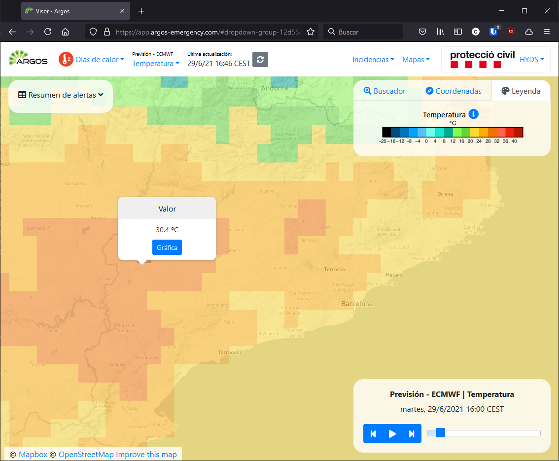
Temperature forecast#
This variable represents the air temperature at 2 metres above the surface of the land, sea or inland waters. This value is calculated by interpolating between the lowest level of the model and the Earth’s surface, taking into account atmospheric conditions.
The units used are degrees Kelvin, but are displayed on the platform in degrees Celsius (ºC).
Accumulated snow forecast#
This variable represents the accumulated snowfall on the Earth’s surface. It is the sum of large-scale snowfall and convective snowfall.
From these data, the accumulation at each interval (taking into account variable time steps) is calculated on the platform.
The units used are mm.
Wind speed and direction forecast#
These variables are generated as derived variables from:
Forecast of the U-component of the wind vector.
Forecast of the V component of the wind vector.
With these data the wind magnitude and wind direction are calculated.
The units used are km/h and degrees respectively.
Relative humidity forecast#
This variable is generated as a derived variable from:
Temperature forecast
Dew point temperature forecast
With these data the relative humidity is calculated by applying the August-Roche-Magnus approximation.
The units used are %.
Index Forecast 30-30-30 Rule#
This variable is generated as a derived variable from:
Temperature forecast
Relative humidity forecast
Wind speed forecast
With these data a discrete value ranging from 0 to 3 is calculated, representing the following situations:
Relative humidity is less than 30%.
The relative humidity is lower than 30% AND the temperature is above 30 ºC.
The relative humidity is less than 30% AND the temperature is greater than 30 ºC AND the wind speed is greater than 30 km/h.
This value is derived from the 30-30-30 Rule and provides an index of favourable weather conditions for the spread of a wildfire.
Visualization#

Useful links#
Data sources#
Data provided by the European Centre for Medium-Range Weather Forecasts (ECMWF) are used.