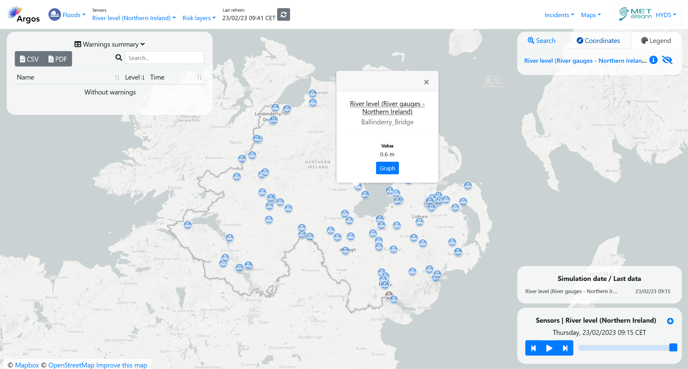
Northern Ireland Water Level Data - DfI Rivers#
DfI Rivers have a network of 130 active hydrometric stations across Northern Ireland. This information is critical in cross border river catchments between Ireland and Northern Ireland. In terms of coastal observations, they monitor the coastal water level network which involves liaising with the UK Met Office and UK Coastal Flood Forecasting counterparts to identify problematic storm surges which can raise sea levels and cause flooding.
Available information#
The following sensor types and variables are available on the platform:
- River gauges:
Water level, in m.
Temporal resolution#
The platform can display the last 24 hours of data in 15 minute intervals.
Update frequency#
Data is updated in real time.
Visualization#
The colour of the station icon indicates the exceedance of one of the thresholds defined in the configuration section.
When no data is available for the station, the icon is greyed out.

Useful links#
Data sources#
Data obtained through an API.