Water bodies#
A term used to describe discrete section of rivers, lakes, estuaries, the sea, groundwater and other bodies of water.
The cartography presents the delimitation of surface water bodies, defined as a differentiated and significant part of surface water, such as a lake, a reservoir, a stream, river or canal, part of a stream, river or canal, transitional waters or a stretch of coastal waters (article 3 of Royal Decree 907/2007, of 6 July, approving the Hydrological Planning Regulation), all in accordance with the Water Framework Directive (directive 2000/60/EC).
These water bodies are divided into surface water bodies and groundwater bodies. The basic hydrographic network generated from the union of the surface water bodies is also included.
Hydrometric Areas#
Hydrological divisions of land, generally large catchments or a amalgamations of catchments and associated coastal areas. There are 40 Hydrometric Areas in the island of Ireland.
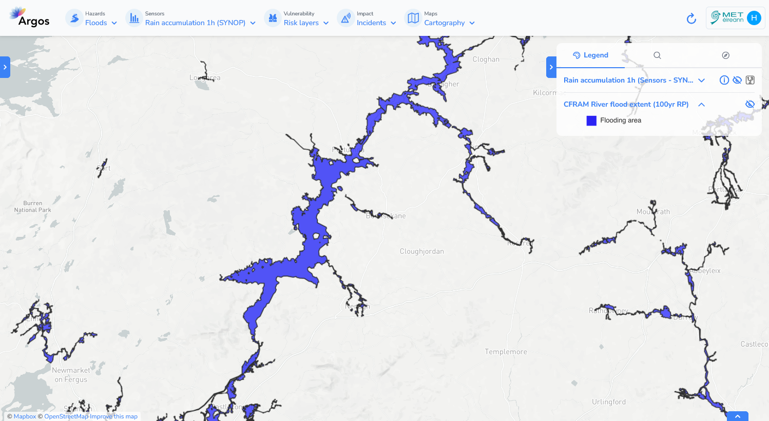
Flood Extent Maps#
Flood Maps provide valuable information for a range of purposes. This includes increasing awareness among the general public, Local Authorities and other organisations, of the likelihood of flooding and informing flood risk management activities by the Government to prevent and reduce the risk and impact from future flooding.
The Flood Maps are not creating new flood risk, but are, setting out the extent of the exposure to flood risk in many communities, as part of the Government’s strategy to plan for the most effective schemes and solutions to manage this risk. Therefore, the Flood Maps may highlight areas at risk of flooding that have no past experience of flooding. This should not be interpreted to mean that the areas will flood, just that there is a chance that may flood in the future.
Visualization#
