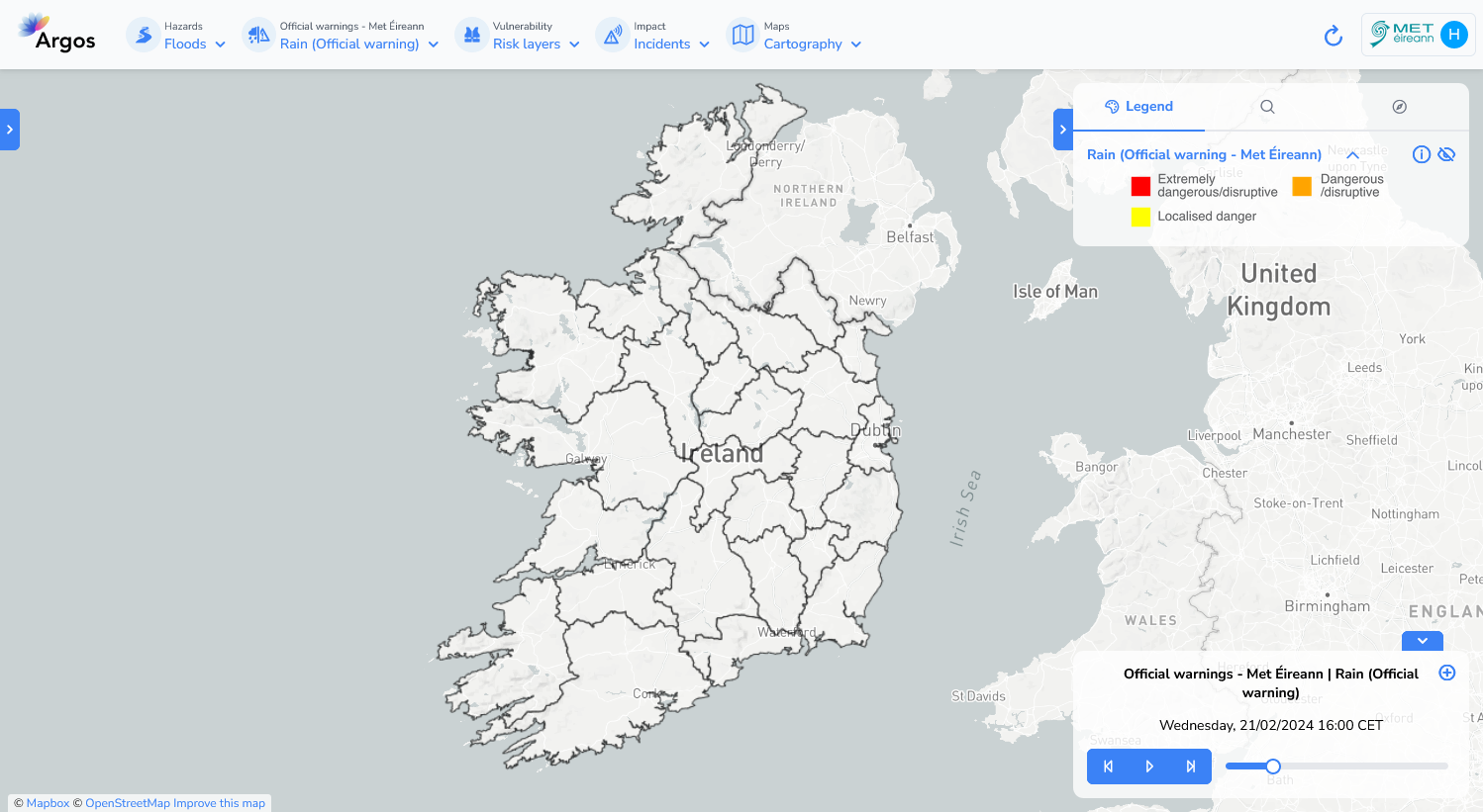
Met Éireann weather warnings#
Met Éireann’s main suite of warnings are issued by the duty forecaster between 10am and midday and are updated as necessary as new information becomes available. In general, warnings will not be issued more than 60-hours ahead of the expected adverse weather but advisories on potential hazards are issued up to a week in advance.
Impacts from wind/rain/snow etc., vary depending on location, recent weather conditions, the state of ground, the time of year as well as the duration of the event. In particular the timing and location of the occurrence of extreme weather can significantly affect the impact which extreme weather may have on society, or on the economy. The colour coding used by Met Éireann is fully aligned with international best practice and the European Meteoalarm system.
Temporal resolution#
The warnings provide a 3-day forecast, with a time step of 1 hour.
Update frequency#
As needed.
Available warning types#
The following warning types are available on the platform:
Wind
Gale
Small Craft
Rain
Snow/Ice
Low temperature/Ice
High temperature
Thunderstorm
Fog (or freezing fog)
Visualization#

Useful links#
Data sources#
Warnings are obtained from the MetÉireann RSS channel in CAP format.