Flooding areas#
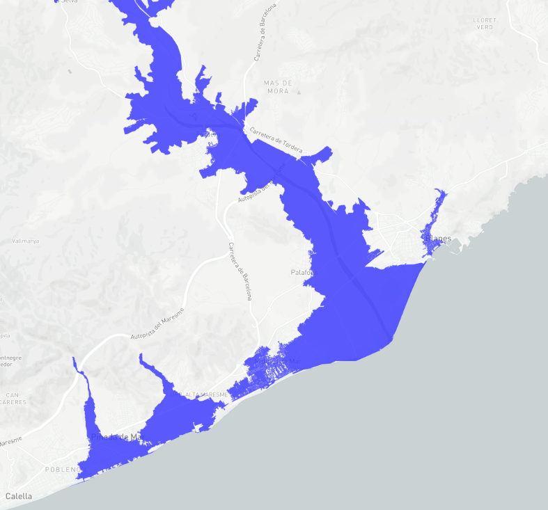
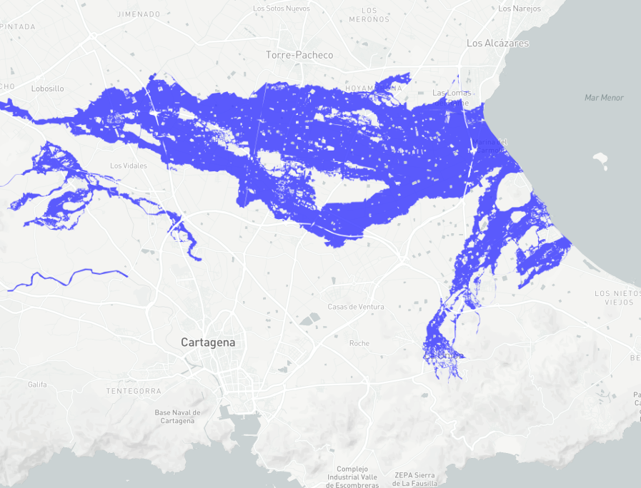
This layer shows the areas defined as Flood Zones associated with return periods in studies carried out by the competent authorities for water, land use planning and Civil Protection. This information is obtained, for each river course, from one of the following two sources, depending on the area of competence:
Visualization#
3 return periods are displayed:
10 year return period.
100 years return period.
500 years return period.
Agència Catalana de l’Aigua (ACA)#

Sistema Nacional de Cartografía de Zonas Inundables (SNCZI)#

Data sources#
Agència Catalana de l’Aigua (ACA)#
Georeferenced data obtained through the cartographic download portal.
Credits: ACA.
Note
Last update on the platform: June 2021.
Sistema Nacional de Cartografía de Zonas Inundables#
Georeferenced data obtained through the Open data portal of the Ministerio para la Transición Ecológica (MITECO).
Credits: Ministerio para la Transición Ecológica y el Reto Demográfico
Note
Last update on the platform: June 2021.