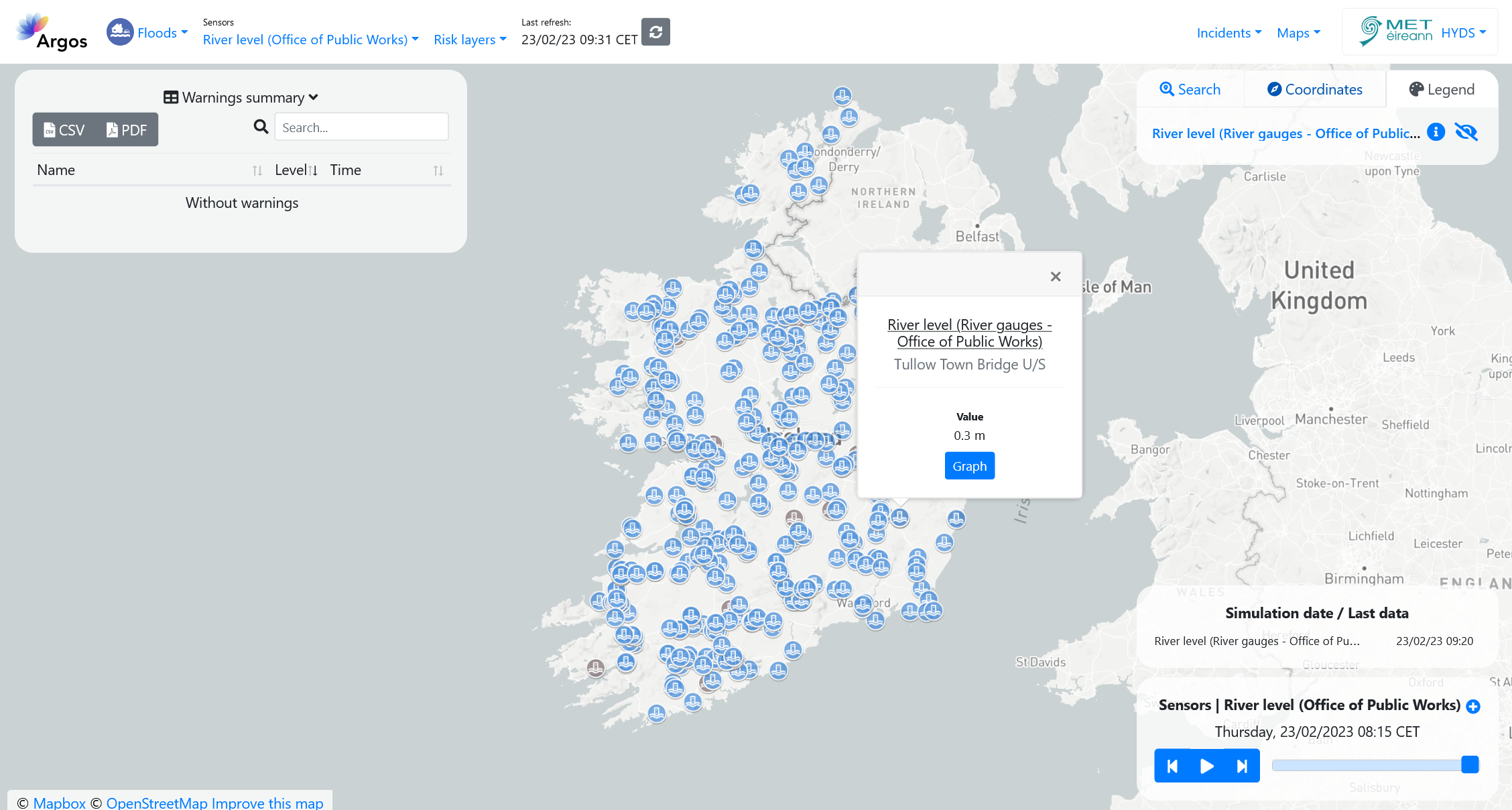
Observed Water Level - Office of Public Works (OPW)#
The Office of Public Works (OPW) is a government office that delivers public services for flood protection, managing government properties and heritage services.
The OPW provides real-time access to data that has been recorded by their hydrometric network. The OPW hydrometric network extends to approximately 380 surface water monitoring stations located on rivers, lakes and tidal locations throughout the Republic of Ireland. Many of these stations are presented via the waterlevel.ie website.
Available variables#
The following variables are available on the platform:
- River gauges:
Water level, in m.
Temporal resolution#
The platform can display the last 24 hours of data every 15 minutes.
Update frequency#
Data is updated in real time, every 15 minutes.
Visualization#
The colour of the station icon indicates the exceedance of one of the thresholds defined in the configuration section.
When no data is available for the station, the icon is greyed out.

Useful links#
Data sources#
Data obtained through an API.