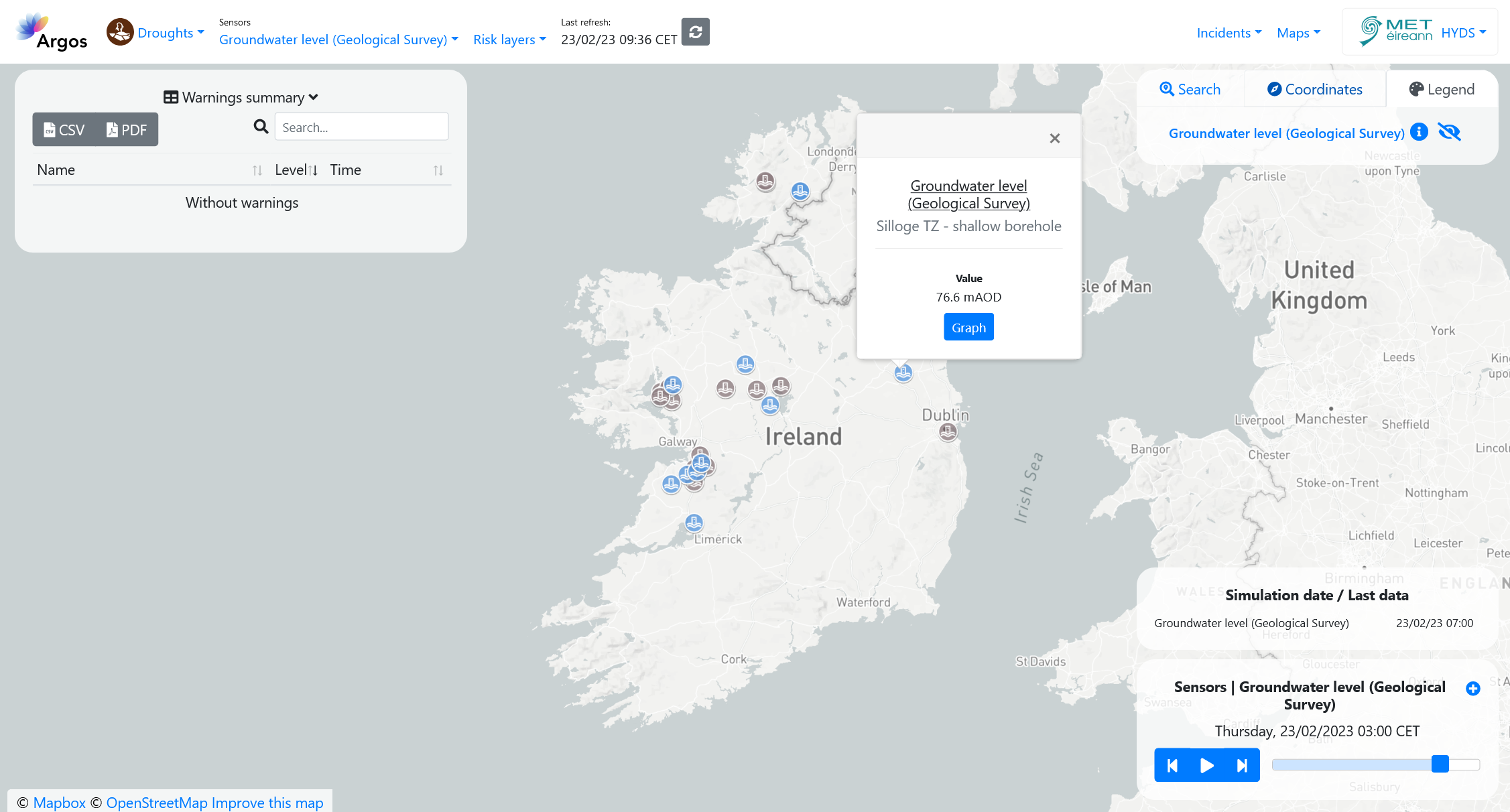
Groundwater Level Data - Geological Survey Ireland (GSI)#
Founded in 1845, Geological Survey Ireland is Ireland’s public earth science knowledge centre and is a division of the Department of the Environment, Climate and Communications.
Available information#
The following variables are available on the platform:
Groundwater level, in mAOD (meters Above Ordnance Datum).
Temporal resolution#
The platform can display the last 24 hours of data in hourly intervals.
Update frequency#
Data is updated in real time, approximately every hour.
Visualization#
The colour of the station icon indicates the exceedance of one of the thresholds defined in the configuration section.
When no data is available for the station, the icon is greyed out.

Useful links#
Data sources#
Data obtained through an API.