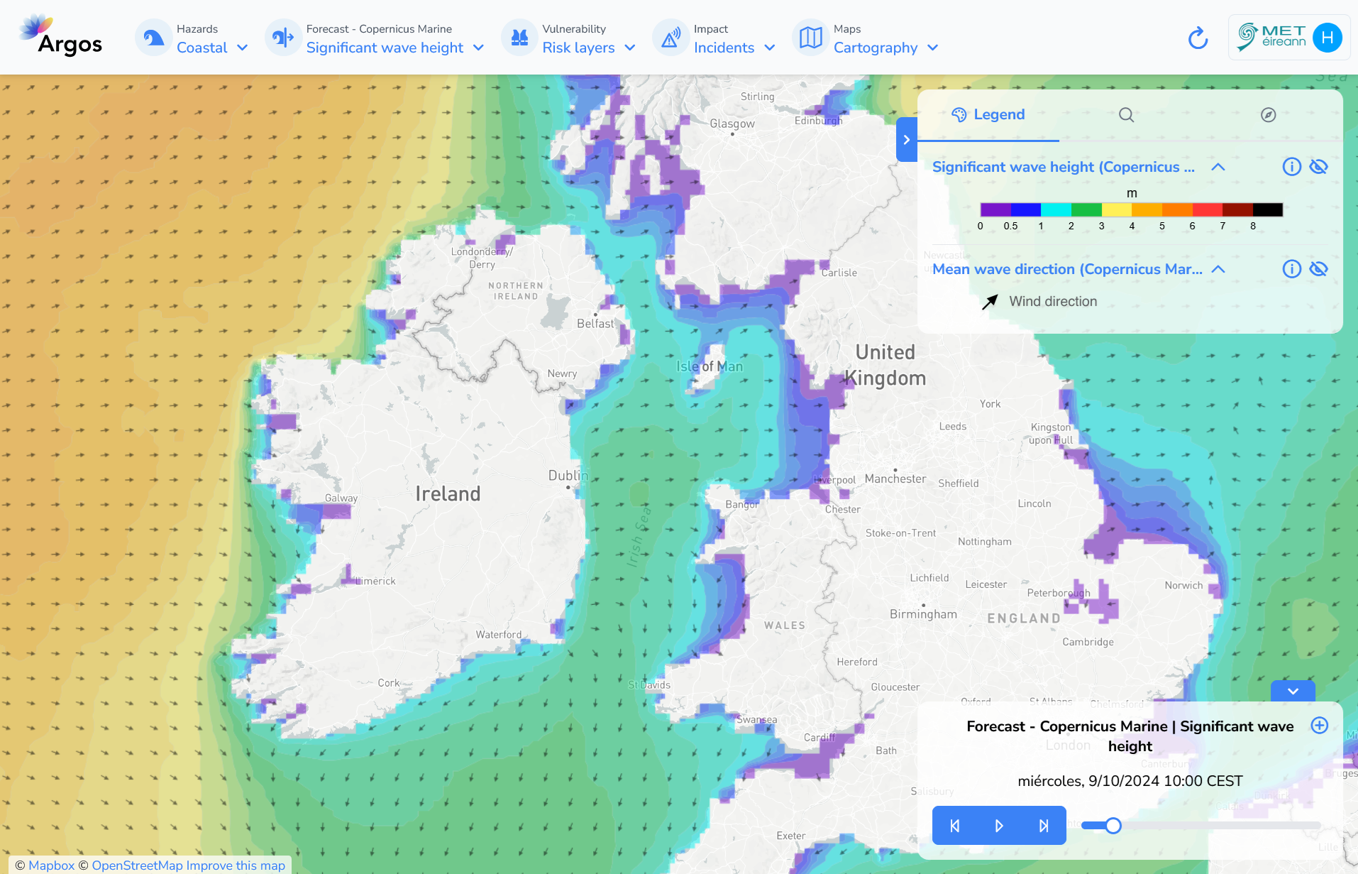
Ocean Forecast from Copernicus Marine#
The Copernicus Marine Service (or Copernicus Marine Environment Monitoring Service) is the marine component of the Copernicus Programme of the European Union. It provides free, regular and systematic authoritative information on the state of the Blue (physical), White (sea ice) and Green (biogeochemical) ocean, on a global and regional scale.
The wave model system is based on the MFWAM model and runs on a grid of 0.20º (5 km) of horizontal resolution forced with the ECMWF hourly wind data. The system assimilates significant wave height (SWH) altimeter data and CFOSAT wave spectral data (supplied by Météo-France), and it is forced by currents provided by the IBI-MFC ocean circulation system.
The product offers hourly instantaneous fields of different wave parameters, including Wave Height, Period and Direction for total spectrum; fields of Wind Wave (or wind sea), Primary Swell Wave and Secondary Swell for partitioned wave spectra; and the highest wave variables, such as maximum crest height and maximum crest-to-trough height. Additionally, the wave system is set up to provide internally some key parameters adequate to be used as forcing in the NEMO ocean model forecast run of the IBI-MFC.
Temporal and spatial resolution#
The forecast provides data for the next 5 or 10 days with a 1 hour time step, depending on the model run: - 00h: 5 days of forecast - 12h: 10 days of forecast. The data generated in this second cycle replace the first 5-days forecast of the first cycle and extend up to 10 days the forecast horizon
The spatial resolution is 0.014° x 0.03°.
Update frequency#
The data is updated twice a day following the model run:
00h UTC.
12h UTC.
Available variables#
The following variables are available on the platform
Significant wave height#
The units used are meters.
Mean wave direction#
The units used are degrees.
Visualization#

Useful links#
Data sources#
Data obtained through an API.