PATRICOVA#
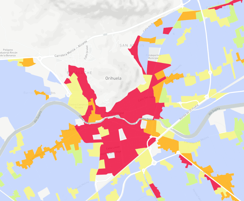
PATRICOVA is the Territorial Action Plan on Flood Risk Prevention in the Valencian Community. Through this plan, various information is available in relation to flood risk.
Flood risk#
The risk to which a territory is subjected due to flooding, resulting from the combination of flood hazard and land use vulnerability.
These contents are mainly based on the incorporation of economic, social and environmental factors that could be damaged due to the negative effects of a flood.
Visualization#
Areas at risk are visualised following a colour pattern:
- Very low risk
- Low risk
- Medium risk
- High risk
- Very high risk

Data sources#
Georeferenced data obtained through the download portal of the ICV.
Credits: Risc d’Inundació 2015 CC BY 4.0 © Institut Cartogràfic Valencià, Generalitat
Note
Last update on the platform: May 2020.