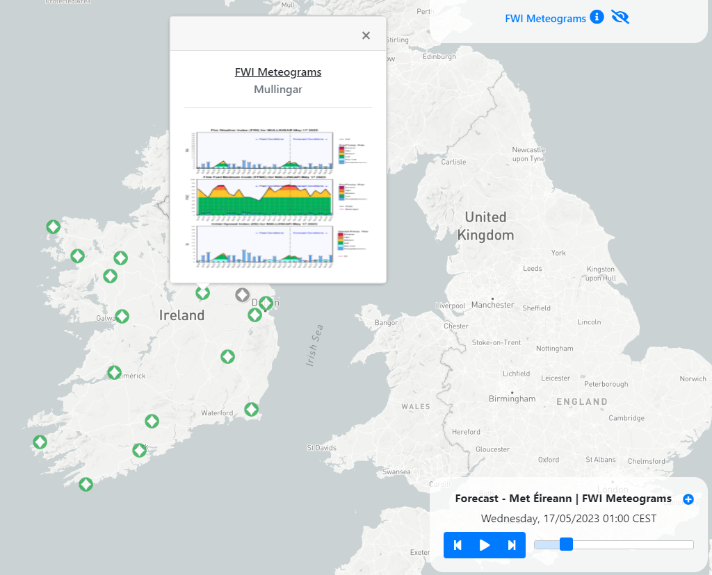
Fire Weather Index Meteograms#
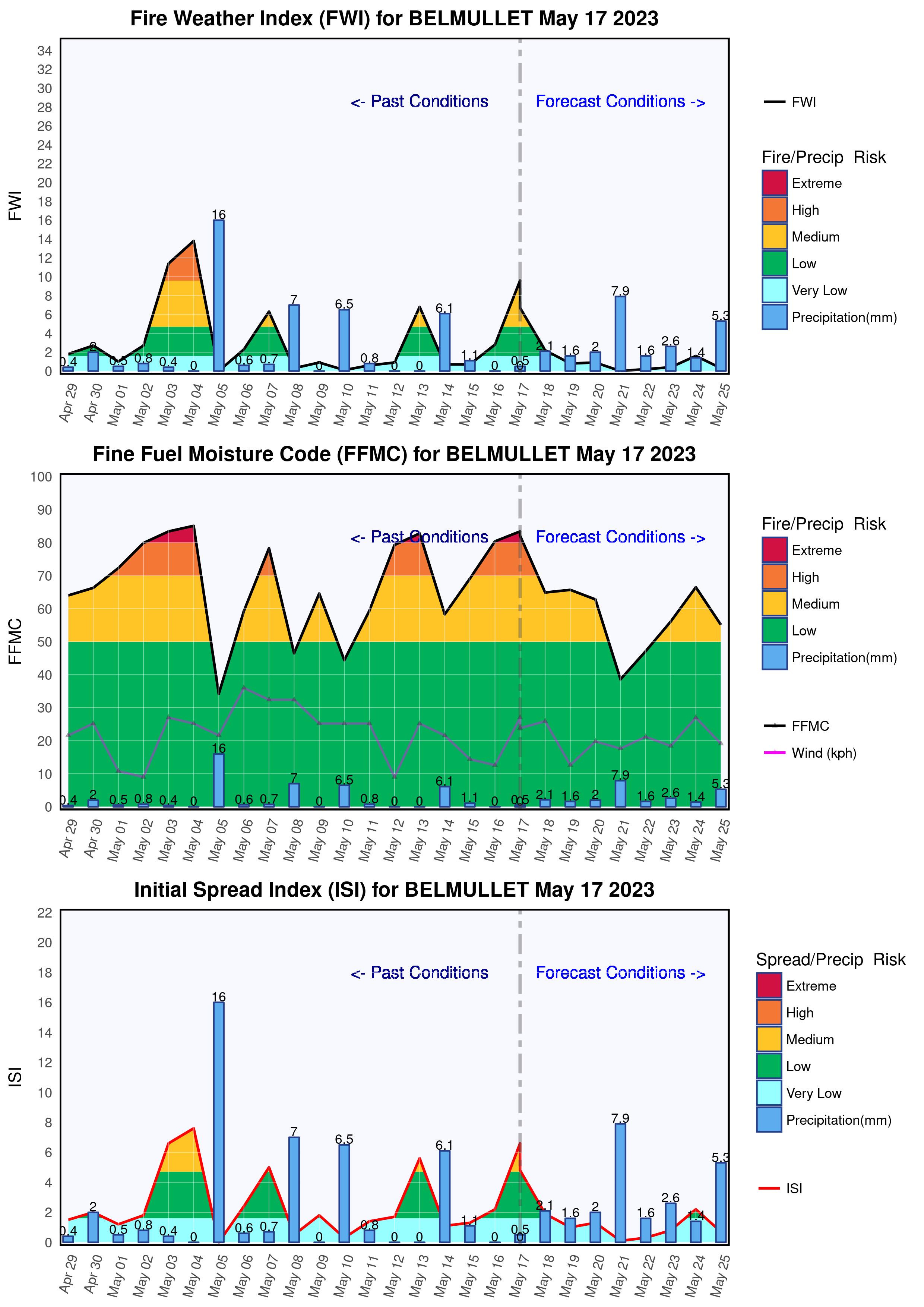
Meteograms issued by the Department of Agriculture, Food and the Marine that contain three graphs each displaying:
Fire Weather Index (FWI)
Fine Fuel Moisture Code (FFMC)
Initial Spread Index (ISI)
These meteograms are updated every day of the year and display the past conditions and the forecast conditions.

In Ireland there can be a high risk of fires from the end of February until October. Five danger classes were chosen ranging from Very Low to Extreme. The values were chosen to allow extreme conditions to exist on 2-3% of days during each month over the 35 year period for which the fire model was run. Similar methods were employed to calculate ISI and FFMC danger classes.
The Department of Agriculture, Food and the Marine issue fire warnings/fire danger notices based on fire weather data courtesy of the European Commission Copernicus System, ECMWF and Met Éireann. See The Latest Fire Danger Notices and further Wildfire Prevention Information.
Temporal resolution#
Each meteogram displays the forecast issued for that day.
Update frequency#
The data is updated daily.
Visualization#

Useful links#
Fire Weather Index (From Met Éireann’s website)
Data sources#
Data provided directly by Met Éireann.